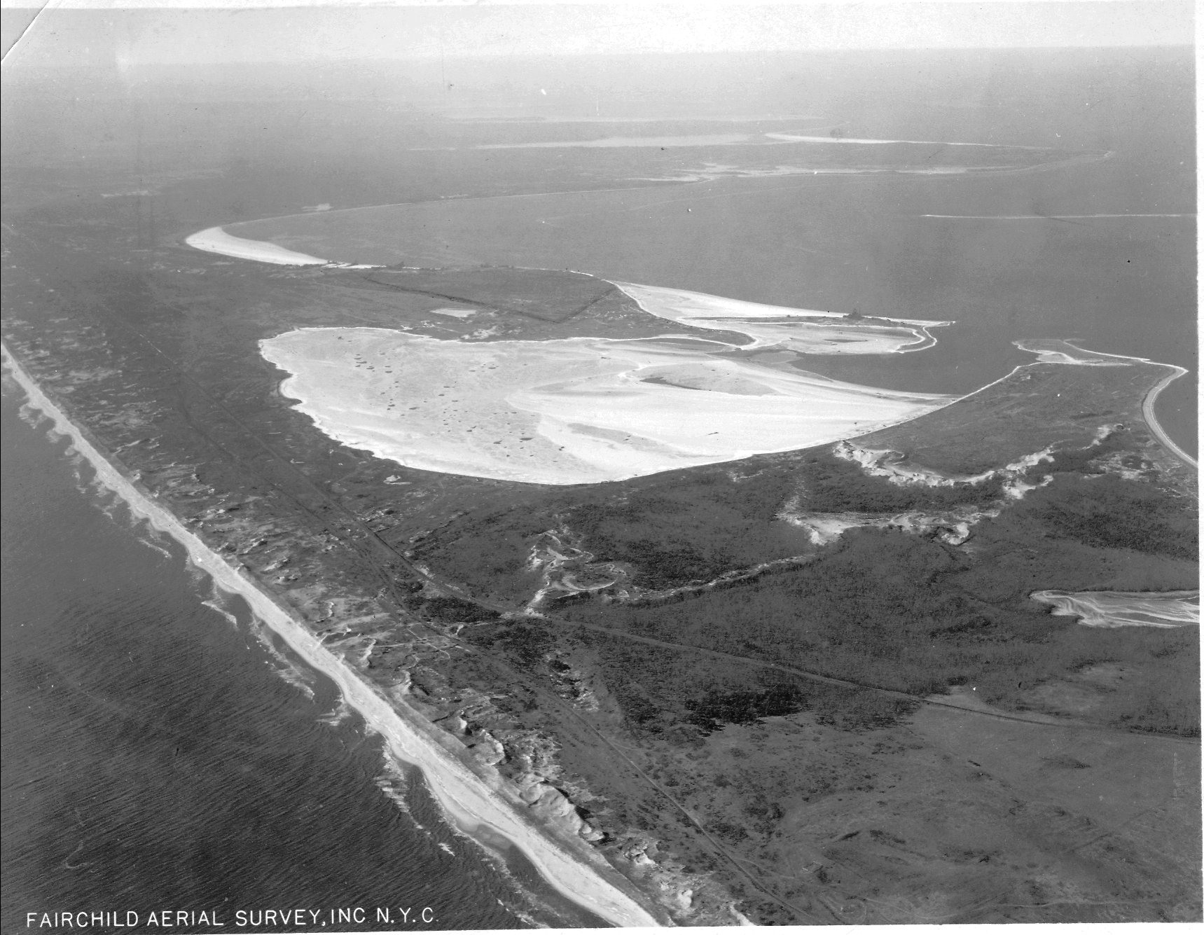
The decade of the 1920s is filled with ingenuity and invention in the field of aviation. Visionaries like Sherman Fairchild pushed aviation science forward, intertwining aesthetics and engineering. Fairchild (1896-1971) was fascinated by “photogrammetry,” the science of gleaning map measurements from photographs.
When he was 21 years old Fairchild designed an aerial camera for the military, but he wanted to develop cameras and planes for aerial surveying and map-making. Frustrated by the lack of maneuverable airplanes that could fly in conditions supporting survey photography, the young entrepreneur formed the Fairchild Aviation Corporation in 1925. Fairchild produced the FC-1, an “aerial mapping aircraft” that could capture images at low altitudes.
This photograph of Napeague, Fish Factory from the Richard T. Gilmartin collection isn’t dated, but it “feels” early, like the other Fairchild aerial surveys in the archives printed during the late 1920s. It could date from a later decade, but at the same time, it makes sense that Carl Fisher would have paid for aerial surveys like this one, since he brought exceptional ground surveyors with him to Montauk. And here’s an interesting side note: Aero Services, Inc., which bought the Fairchild Aerial Surveys company in 1965, threw out the all the early photographs. Fortunately, at the 11th hour, a panicked former Fairchild employee learned of the impending disaster and interceded. The surveys now reside in the Special Collections libraries of two universities in California.
Click on this link to see Fairchild surveys from the 1940s in the New York State archives:


Reply or Comment