The first known aerial photograph was taken over Paris by Gaspard-Felix Tournachon, a French photographer and balloonist, in 1858. Tournachon used a wet plate collodion process that required the photographic material to be prepared, exposed, and developed from a portable darkroom while aloft in a basket suspended from a gas balloon.
From the 1880s to early 1900s, experiments in aerial photography soon followed and evolved to using kites, unmanned gas balloons, pigeons, and rockets outfitted with cameras controlled by timed explosive charges to document views from the air. Wilbur Wright captured the first motion picture from an airplane in 1909.

During World War I, aerial photography from planes was used by German, French, British, and United States militaries, replacing images previously collected by sketching and drawing. Aerial photographs were applied to create battle maps and record enemy movements and defenses.

In the 1920s and 1930s, aerial photography was adopted for commercial purposes including surveying, map-making, and recording construction progress. Aerial camera technology improved and cameras increased in size, focal power, and capabilities. Over the century, the applications of aerial photography have continued to expand to geology, land-use planning, archaeology, environmental monitoring, disaster assessment, surveillance, and artistic projects.

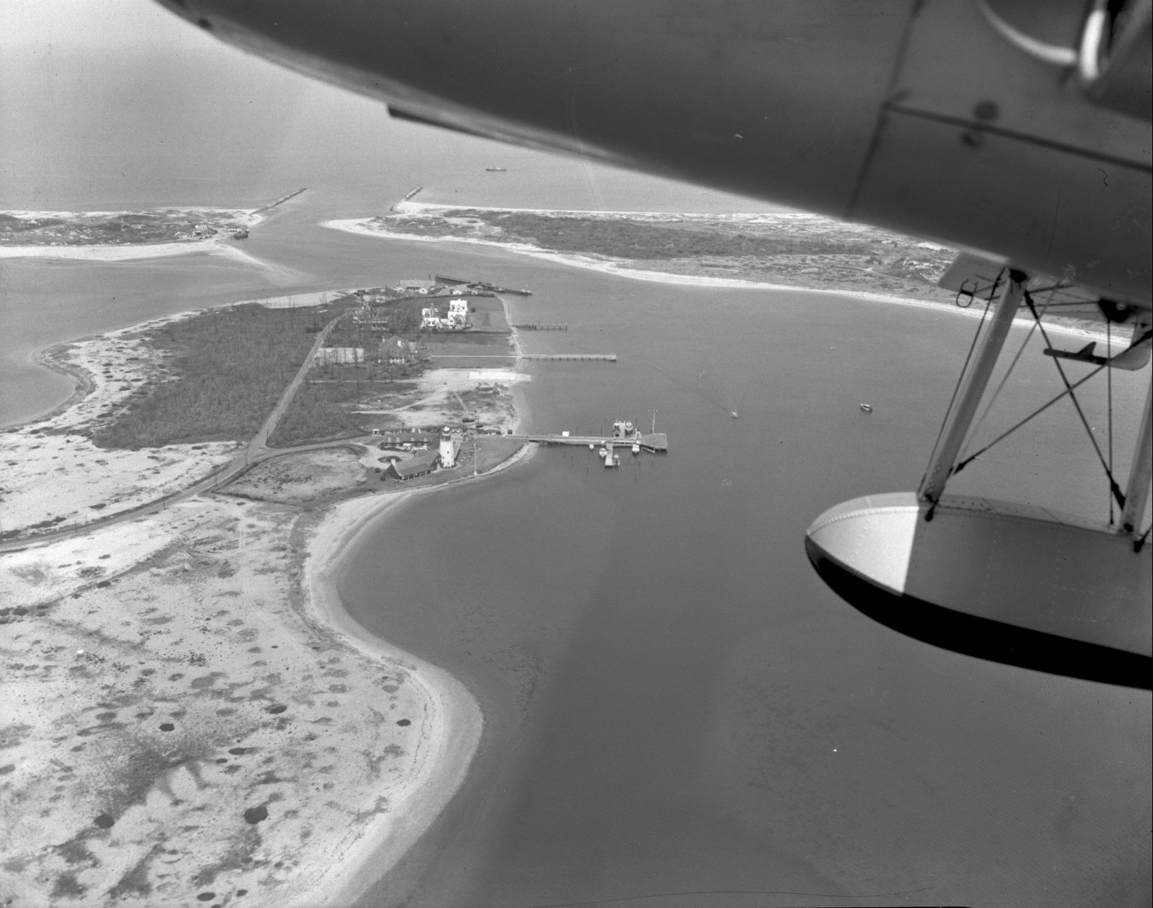
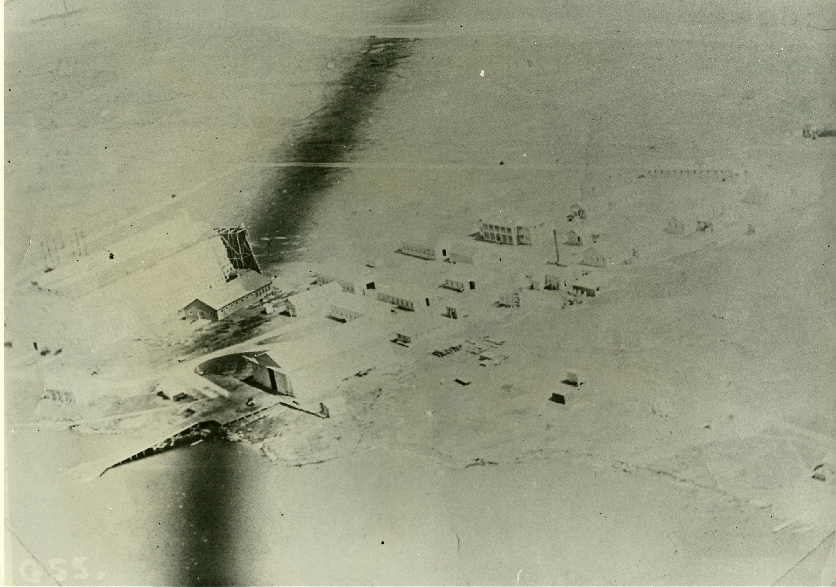
The aerial photography collection in the Montauk Library Archives dates from the 1920s through the 1990s and comprises color photographs, black-and-white photographs, and film transparencies showing the evolving landscape changed over time by natural forces and development. Click here to view a slideshow of the collection.

One Comment
In the slideshow, the picture at 8:22 is backwards.