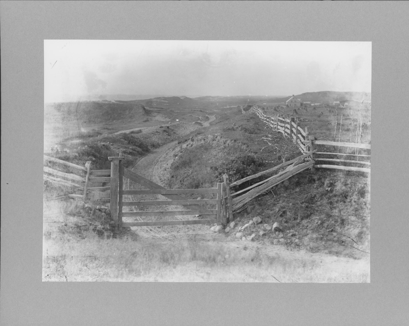
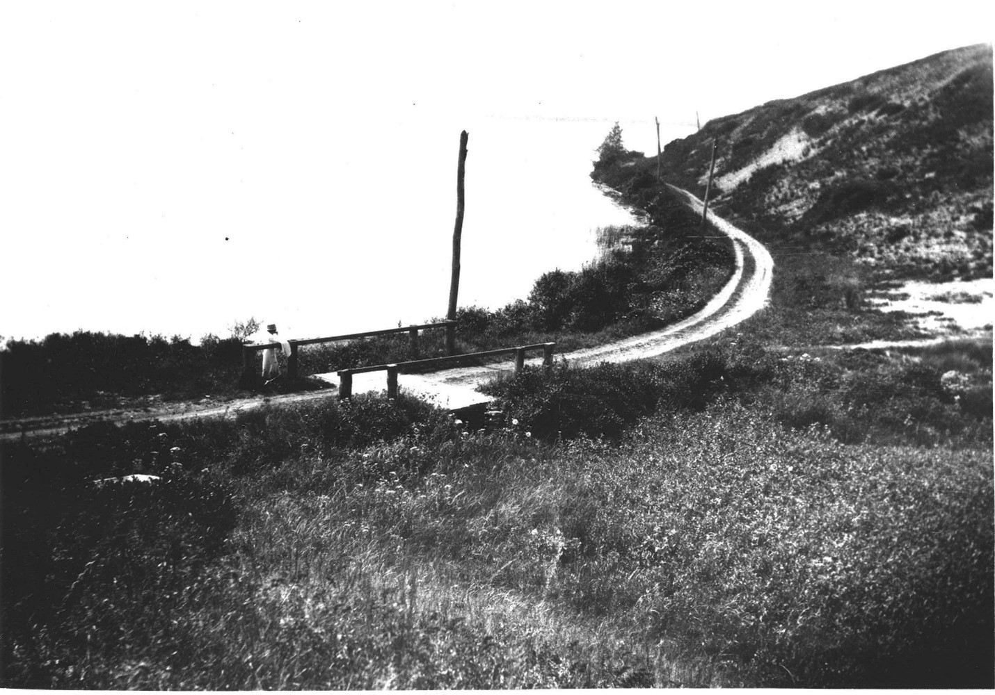
There wasn’t much going on here, road-wise, before Carl Fisher and Robert Moses got their hands on Montauk. Only really tough vehicles could navigate a cart track built from one end of Montauk to the other. And the laying of a new road from Amagansett to Montauk, using cinders donated by the railroad, was a cause for celebration.
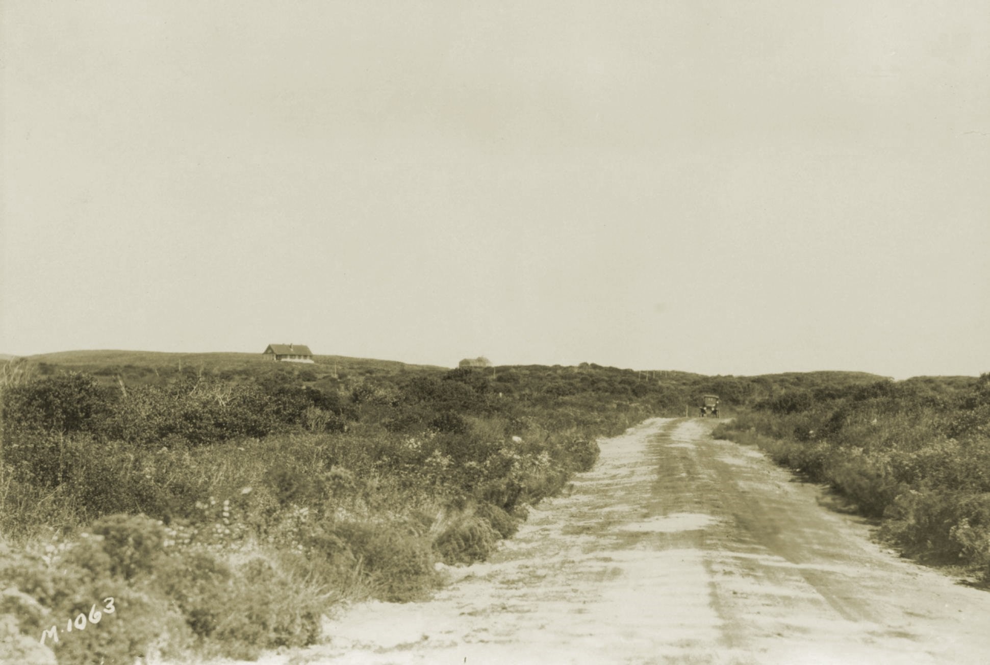
“Last week Tuesday, for the first time in the history of the world, twenty-eight automobiles went over the New Napeague road to Montauk in one day,” the East Hampton Star reported on October 27, 1916. Even after that, a car trip from East Hampton to Montauk took two hours and risked a flat tire or getting stuck in the sand.
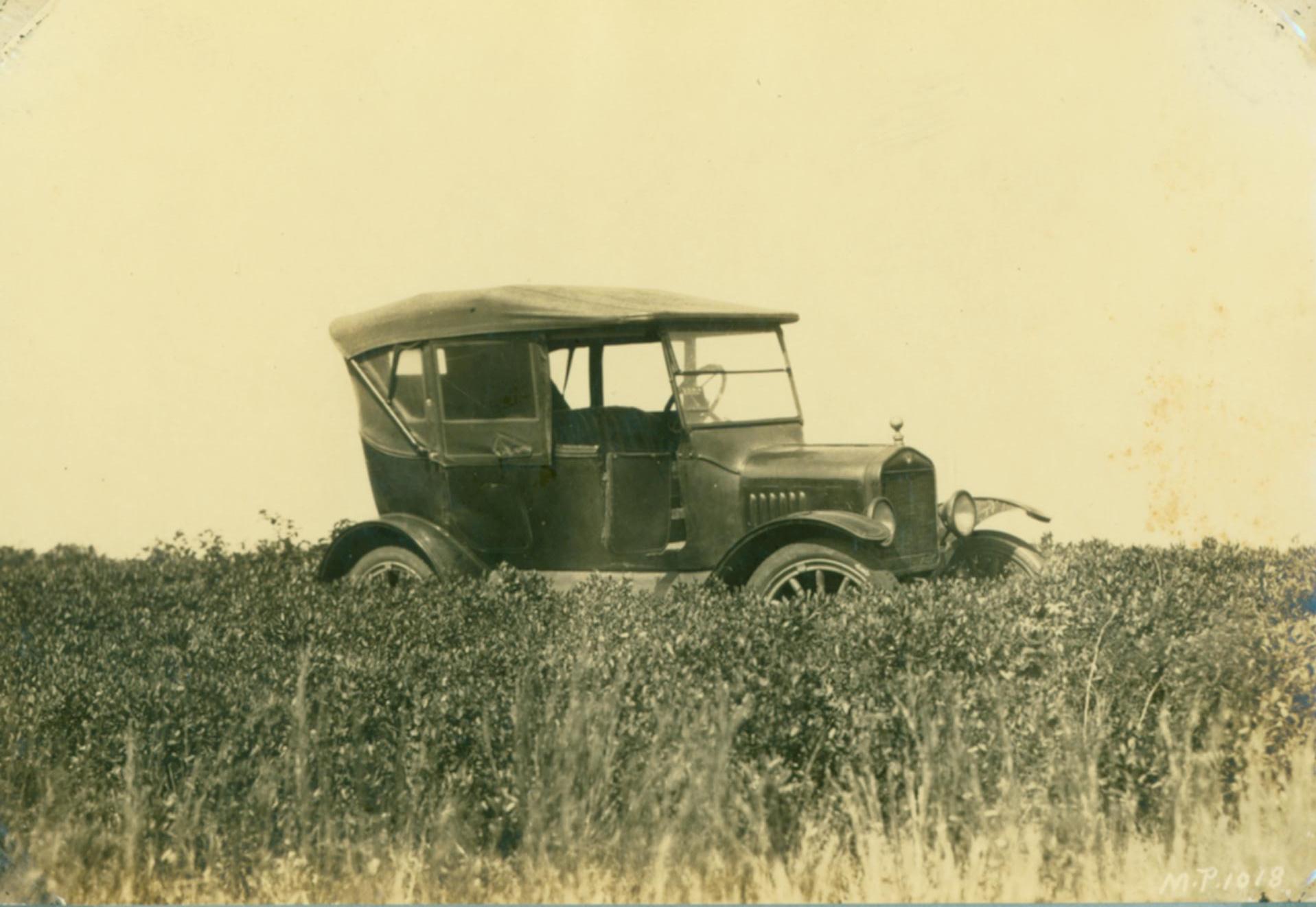
“It is a bit narrow in places and one must at all times keep his eye directly upon the road and no funny stunts can be played either, even with a Ford,” the Star said of the new cinder road. “As the driver of the car you have little opportunity to enjoy the scenery as you will be occupied with undivided attention, right at the wheel. Leave the sightseeing to the passengers.”
A paved highway to Montauk was built in 1927. Also in the 1920s, the developer Carl Fisher and his team built miles of roads – an average of two miles a week — in Montauk.
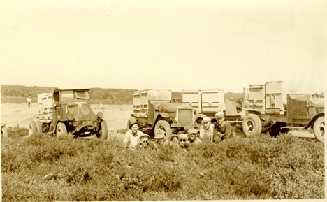
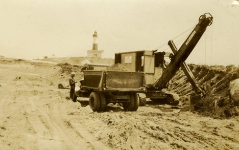
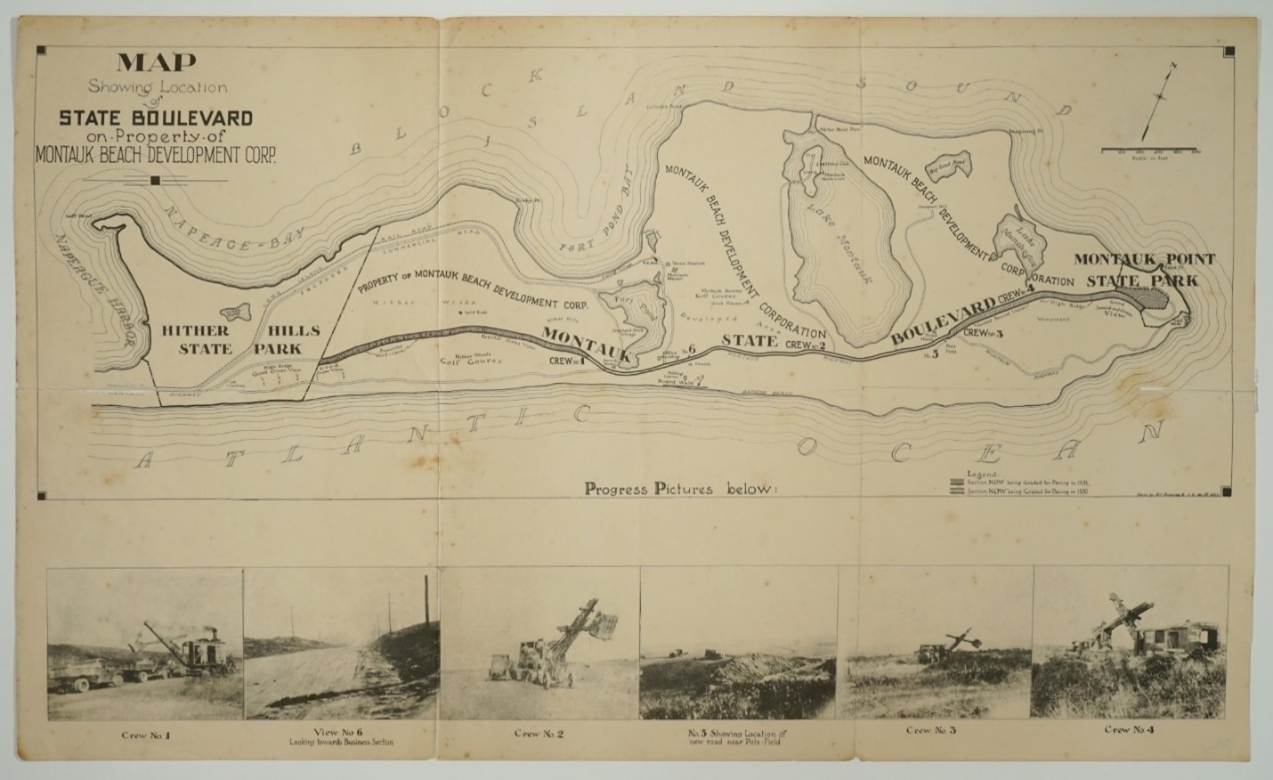
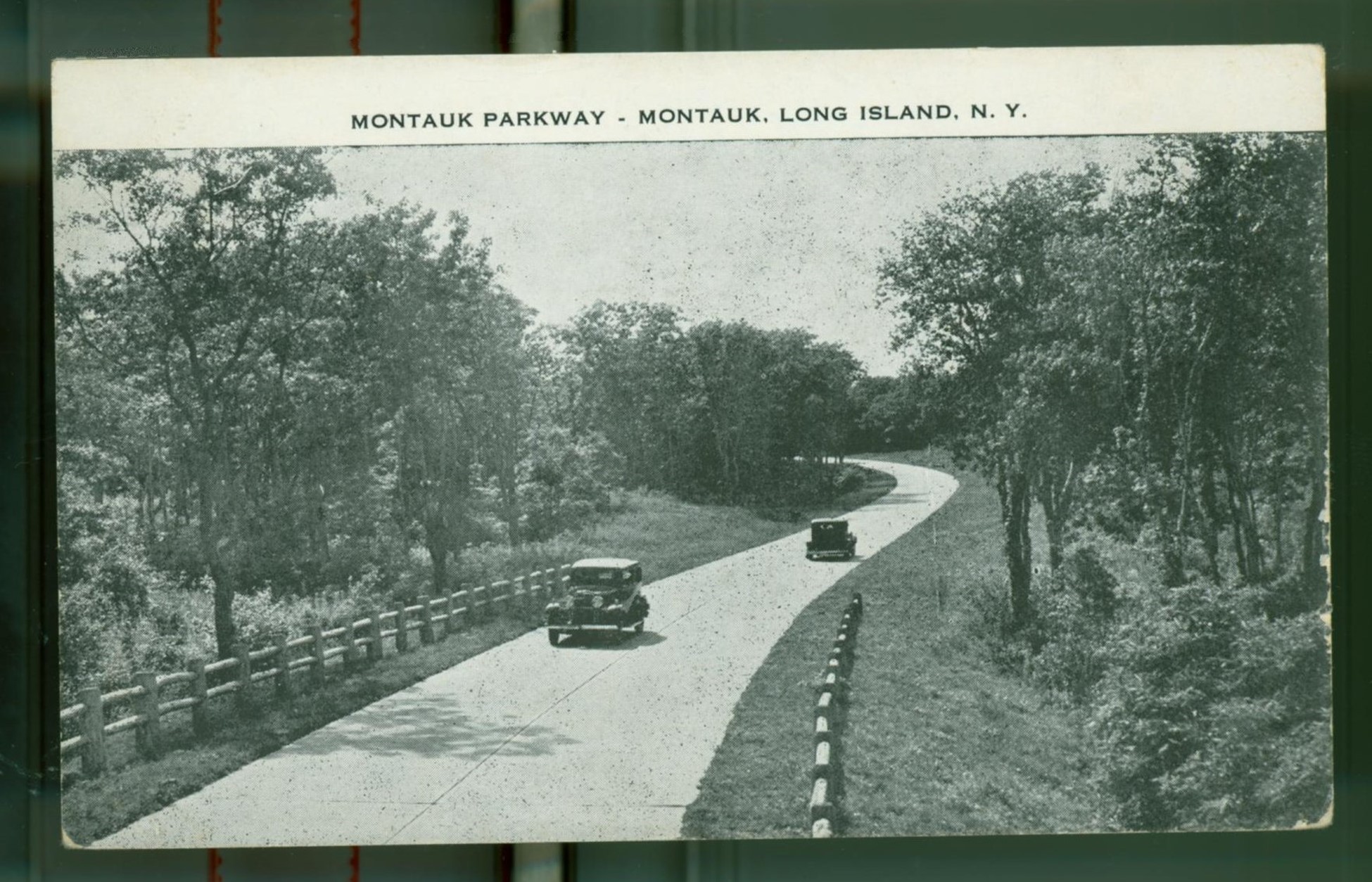
In 1930, a scenic state parkway was laid out from the west end of Hither Hills State Park to Montauk Point State Park. The Montauk Beach Development Corporation granted rights-of-way through its properties to make that possible. Led by Robert Moses, the State Parks Commission decided to abandon the Old Montauk Point Road and instead run the new parkway to the north: through the woods from the east end of Hither Hills State Park to Fort Pond and again from Third House to Montauk Point.
Rights-of-way for a parkway through the intervening six miles between Second and Third House, running in part through today’s downtown Montauk, could not be secured because the property was already planned for commercial use.
“The bond holders who are interested in the mortgage covering the central part of Montauk are so insistent upon commercial exploitation and ordinary roadside development that we were unable to deal with them” Moses wrote in a letter to the East Hampton Star at the time.
“What we are doing will prevent the commercializing of the route as it passes through some of the finest parts of the peninsula and will insure a drive of unique beauty through all but the six miles from Fort Pond to Third House.”
2 Comments
Wonderful installment. The photos are fascinating and the writing, eloquent.
Thank you!