Ever wonder how you can learn more about the history of Montauk? Reading our weekly Throwback Thursday posts is a great starting point and if you want to dig deeper into a topic or have local history-related questions you can visit the Montauk Library’s archives. But what is an archives anyway?
“An archives is a place where people can go to gather firsthand facts, data, and evidence from letters, reports, notes, memos, photographs, and other primary sources” explains the National Archives on its website. Although, “an archives” might seem grammatically incorrect, “archives” is one of those words that can be singular or plural. An archives refers to a collection of primary source materials, the facility where the materials are stored, or the group that collects and preserves them.
The archives at the Montauk Library collects, preserves, and makes accessible materials relating to the history, culture, and community of Montauk. The library has been collecting local history items since the 1990s. The materials in the collection span from the 1850s to the present. They include maps, prints, photographs and slides, scrapbooks, films, artworks, journals, reports, postcards, guidebooks, yearbooks, organizational records, out-of-print books, newspaper clippings, and a large selection of audio and video oral history interviews with members of Montauk’s early families. Anyone in the community can use the materials by visiting the archives on the library’s lower level or making an appointment with Aimee Lusty, the archivist.
This Saturday, December 7th, from 1 pm to 3 pm, the library will host an open house show-and-tell style program inviting patrons to get hands-on with history.
We’ll travel back to 1857 when Montauk only had one road and Lake Montauk was a freshwater lake. See what the lighthouse looked like before the daymark was painted and before coastal erosion took feet off the shoreline. Learn about some of the first structures in Montauk and the early photographic processes that captured them. The event is free and open to the public. You can either sign up ahead (online here) or drop in anytime between 1 pm and 3 pm.
Here is a sneak peek of some materials we’ll share with you…
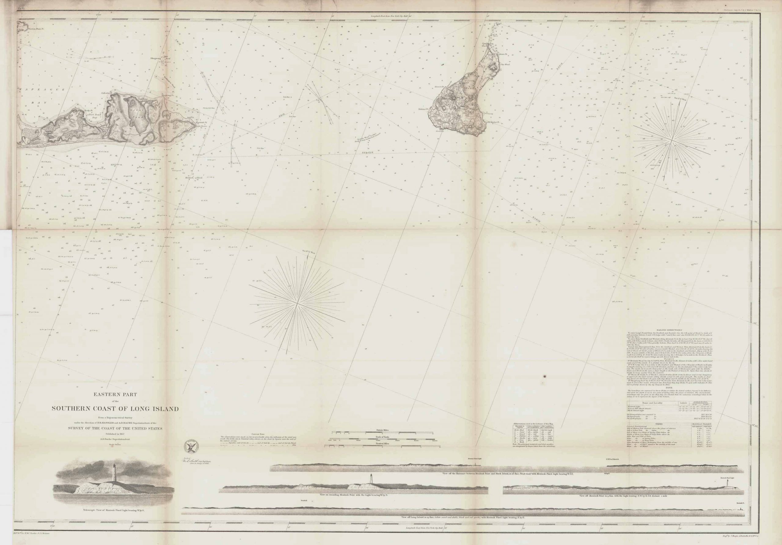
This newly acquired coastal survey map depicts Montauk from Napeague Harbor to the point. It illustrates the rolling topography of the hills, the expansive grasslands dotted with pockets of woods, and Lake Montauk—labeled here as Great Pond—before the inlet was cut to Block Island Sound. The drawings on the lower right depict four coastal views approaching the Montauk Lighthouse and surrounding cliffs drawn from the sea with the aid of a telescope.
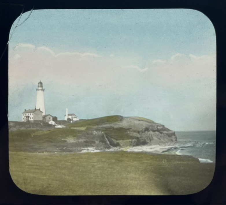
Speaking of the lighthouse, this magic lantern slide from the late 19th century pictures the lighthouse before its daymark was painted in 1899. Photographic lantern slides were introduced in the United States in 1850, not long after the invention of photography. A positive image is exposed onto gel emulsion, sandwiched between two pieces of glass, and occasionally hand colored, like the one above. The slides were viewed using a “magic lantern,” the predecessor of the slide projector. Magic lantern slides were used in exhibits, performances, lectures, and home entertainment.
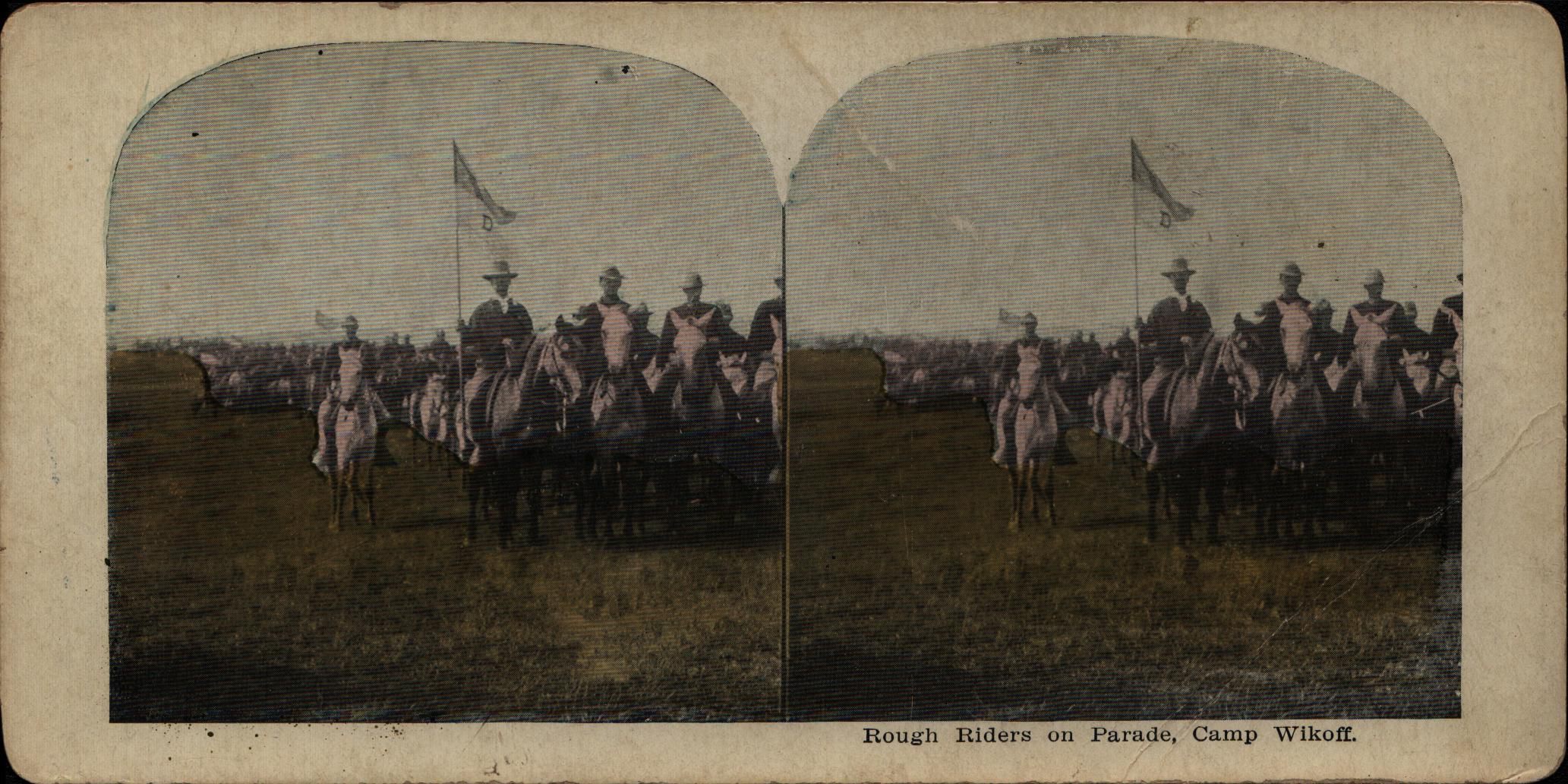
Another photographic party trick, stereographs pair two nearly identical photographs to produce the illusion of a single three-dimensional image when viewed through a stereoscope. This is one of two stereographic cards in the collection depicting the Rough Riders of Camp Wikoff. Stereography was a popular method to document war and military history including the American Civil War and World War I. We don’t have a stereoscope in our collection (hint hint—the holidays are coming up) but you can also “freeview” the cards by slightly crossing your eyes.
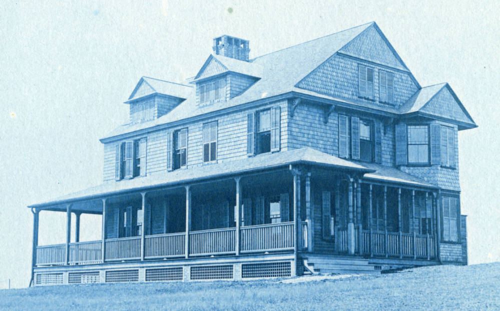
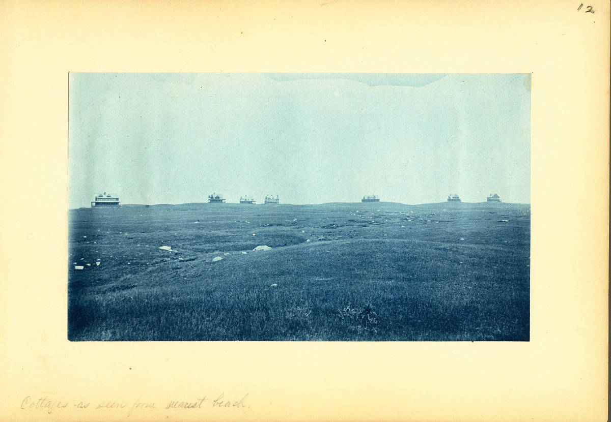
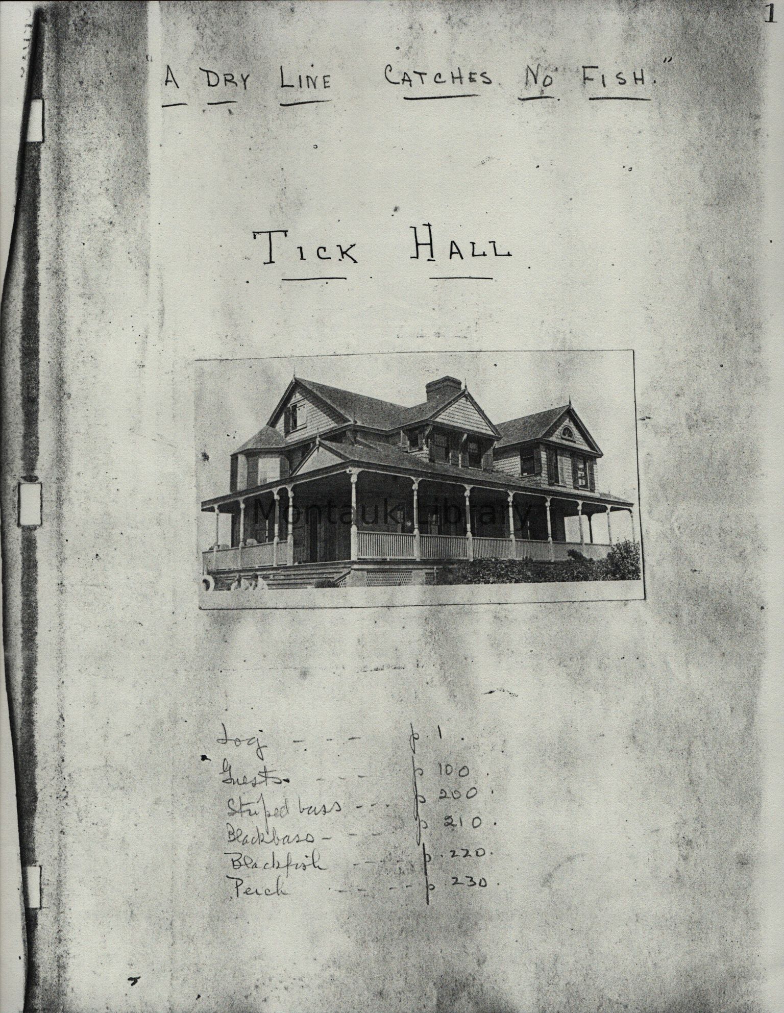
The cyanotype process was developed in 1842, slightly before but alongside the magic lantern slide and the stereograph. Cyanotypes can easily be identified by their blue image tone, matte surface sheen, and visible paper fibers. The cyanotype process relies on the light sensitivity of iron salts and their interaction with potassium ferricyanide. The library’s archival materials include an album of cyanotypes (c. the 1890s) that portrays exterior and interior views of the Montauk Association houses alongside landscapes of Signal Hill, Lake Wyandanch, Oyster Pond, Gardiner’s Island, and Montauk Point.

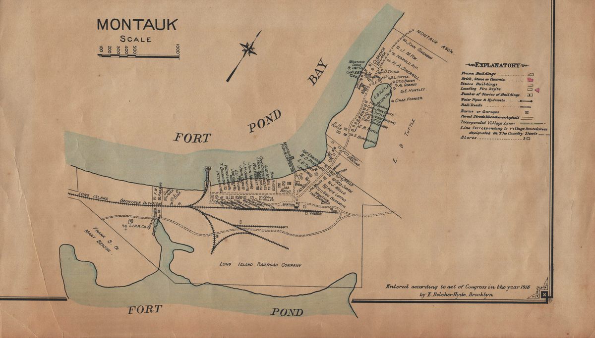
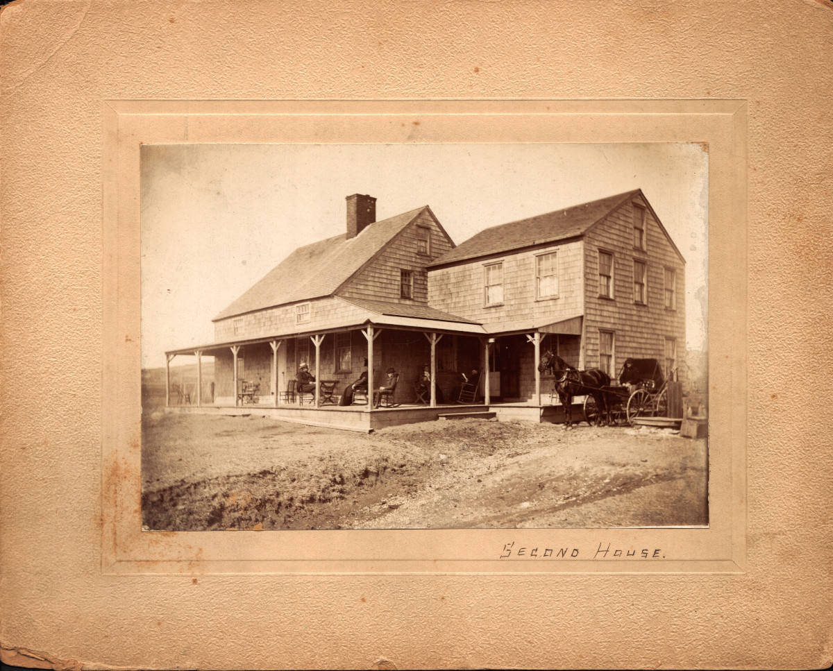
In this weekend’s program, we’ll look at early maps alongside photographs and postcards to get a feel for where some of Montauk’s structures and settlements were, like First, Second, and Third Houses, the Montauk Association houses, Camp Wikoff, and the fishing village.
We’ll save all the Carl Fisher and Montauk Beach Development Corporation materials, of which there are A LOT, for a future open house. So check back in a few months for another show-and-tell program or make an appointment to visit the archives by emailing archives@montauklibrary.org.


Reply or Comment