
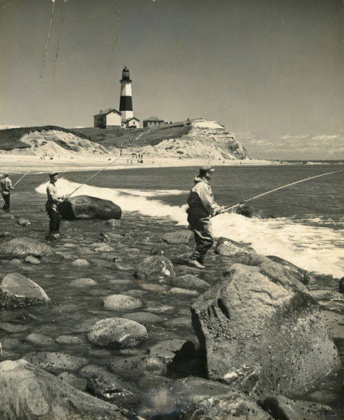
“There are odd and interesting histories connected with the names of most of the fishing points at Montauk,” says a bit of unpublished and unattributed writing in the collection of the historian Richard T. Gilmartin in the Montauk Library Archives.
“Some are connected with some Historical event, or Shipwreck,” it says. “Others are connected with very minor incidents, which for one reason or another have been carried through for many years.”
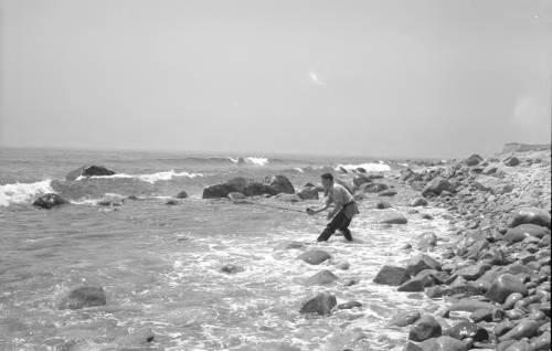
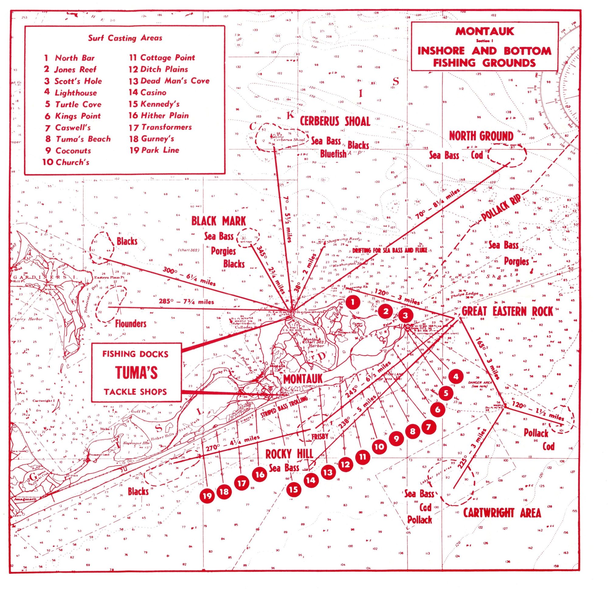
Examples of the former would include Dead Man’s Cove (Number 13 on the map), where bodies washed ashore from the wreck of the “Circassian” in 1876 (according to Jeannette Edwards Rattray in her book Ship Ashore) – or, rather, bodies from the “John Milton” washed ashore in 1858 (according to the Gilmartin account).
Coconuts (Number 9) is a popular spot for striped bass near where the “Elsie Fay” shipwrecked in 1893. Local scavengers plucked “casualties” from the sea – a whole bunch of coconuts that the ship had been transporting, according to Jeannette Edwards Rattray, who reported that “Montauk people had coconuts in every style for about a year.”
Church’s (Number 10) is named after Richard E. Church of the Arm & Hammer Baking Soda family, who bought oceanfront property from the estate of Arthur Benson in 1898. It would come to be known as the [Andy] Warhol Estate, or Eothen, meaning “land to the east,” according to a 2007 article in the East Hampton Star.
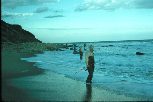
Cottage Point (Number 11) refers to the summer “cottages” of the Montauk Association, which were built for the very wealthy in the 1880s on the ocean bluffs, according to Jeannette Edwards Rattray in her Montauk book of 1938.
Casino (Number 14) takes the original name of Carl Fisher’s 1927 Surf Club at the east end of Montauk’s downtown, where Manor guests could enjoy a saltwater pool, boardwalk, restaurant, and oceanfront cabanas.
Transformers (Number 17) “designate[s] a certain pole in front of the Montauk Beach Mirror Development, which for many years carried several large transformers,” says the Gilmartin paper.
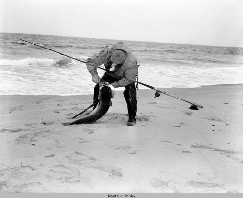
As the map indicates, the south shoreline has more than a dozen surfcasting spots, from Turtle Cove near the Lighthouse to Park Line at Hither Hills. Back east at the Point, but on the north side, one can fish at, among other hotspots, Scott’s Hole (Number 3).
The place name may commemorate Capt. James G. Scott, a Civil War veteran who lived at the lighthouse for 25 years, according to the Gilmartin notes. The captain used to pull his boat up to that part of the shore, according to the Rattray Montauk book.
In a 1988 story about nocturnal surfcasting in the East Hampton Star, Rusty Drumm noted that just after the top of the tide, striped bass could be counted on to appear at Jones’s (Number 2), a collection of rocks that contribute to a long reef running northwest of Montauk Point. “The reef is interspersed with favorite spots, even individual perching rocks named for anglers who discovered them,” Rusty wrote.
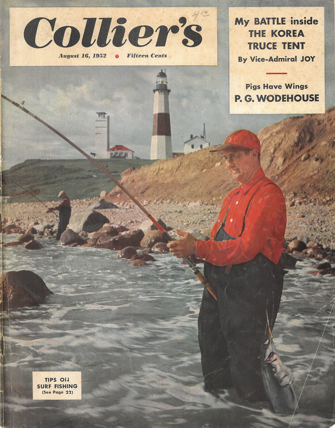
In his appearance on the cover of Collier’s, Frank Tuma seems to be surfcasting on the north side, which would most likely put him at North Bar, Jones Reef, or Scott’s Hole – Numbers 1, 2, and 3 on the map, which was accompanied by a 1966 tide table for Montauk and bait and tackle suggestions.
The brochure was published for Tuma’s tackle shop on Montauk’s Main Street, which surfcasters could visit for bait, to dispense or receive advice, or to weigh the “cows” they reeled in. Tuma himself was a surfcasting pioneer, perfecting what is called the snap cast, which earned him the Number 8 spot on the map – Tuma’s Beach on the rocky eastern south shore.
Or did it?
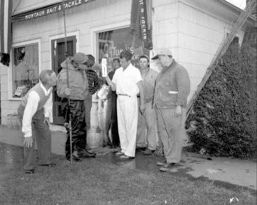
Actually, Gilmartin – who fished with Tuma in the surf on the south side, had a different explanation.
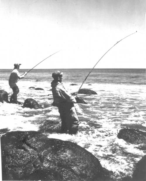
“It was named to commemorate the sad loss of Frank J. Tuma …,” his paper said.
“… of a brand new Dodge Coupe which he had parked on the cliff here while going fishing, in the early 1920’s, and the car tumbled over the cliff.”
Reply or Comment